TRANSCRIPT:
For much of Australia, it was meant to be a long, hot, dry summer.
"The bureau is today declaring that an El Nino event is underway in the Pacific Ocean. Those conditions are associated with increased fire danger and extreme heat risk."
That was the Bureau of Meteorology's Dr Karl Braganza back in September, declaring an El Nino [[neen-yo]] weather event for Australia's east.
Based on the presence of this El Nino, the Bureau's outlook for last October to this April foresaw an above average risk of extreme heat and fire risk in many parts of southern Queensland and New South Wales, as well as the west and Top End.
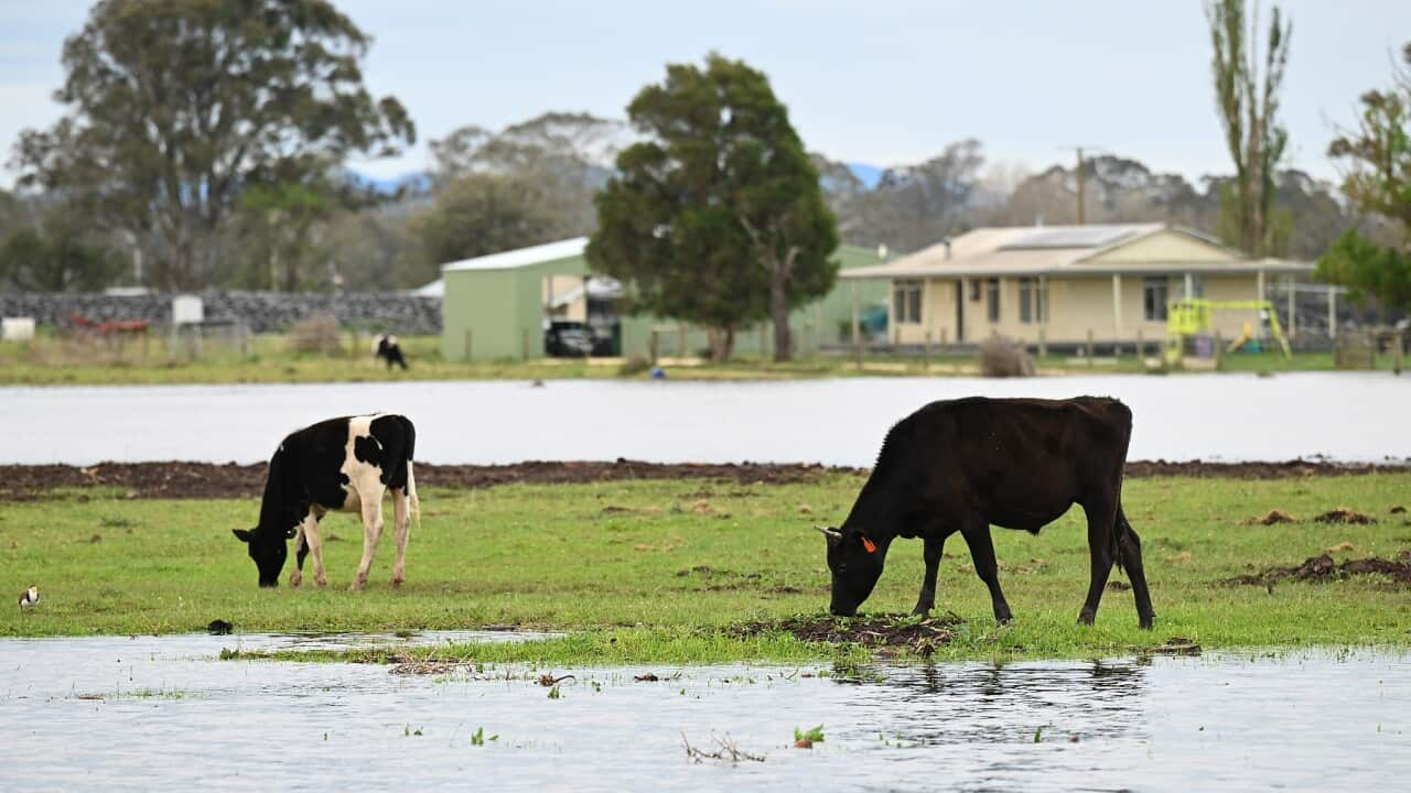
Instead, we've seen record rainfall.
Floods have devastated northern Victoria, as well as south-east Queensland.
Senior meteorologist Harry Clark has told Channel 9 flash flooding could be possible once again in far north Queensland, which was hit by Tropical Cyclone Jasper last year.
"We could see rainfall totals in the order of 50 to 150 millimetres across parts of the north tropical coast over the next 24 to 48 hours. We do see the risk of flash flooding so those smaller creeks and streams that are around far northern Queensland given the recent wet conditions could rise quite quickly with any heavy rain fall."
David Jochinke is the president of the National Farmers' Federation and a mixed farmer from western Victoria.
"Far North Queensland isn't enjoying what's going on up there at all. But if you take yourself out of those extreme areas and go back to some more southern areas, the amount of grass that's now growing for livestock producers is is fantastic."
He says warm, wet conditions have brought other challenges in the form or rampant weeds and pestilence.
And by preparing for drought conditions, some farmers have missed opportunities to capitalise on the rain.
"So you talk to a lot of farmers and they tell stories about how they're seeing things that they've never seen before, or the environments not working the way that it traditionally would. And is that variability, I guess that we find hard to manage."
Andrew King is a senior lecturer in climate science at Melbourne University.
He says the reason why there has been such an apparent difference between the forecast and the conditions is that El Nino conditions are more likely to indicate a dry spring than a dry summer - conditions that did, in fact, come to pass.
"Part of the reason is because we've got quite warm seas to the east of Australia, the Tasman Sea is really unusually warm at the moment. And we've got what's called a positive Southern Annular moment, which means that we have more winds from the east, crossing the coast of Australia that promotes wetter than normal conditions as well... These conditions are harder to predict more than a few weeks in advance, because it's kind of something going on in the atmosphere. The atmosphere is quite chaotic."
Atmospheric researcher Dr Martin Jucker from the University of New South Wales believes another unusual factor is impacting Australia's summer.
in January 2022, the Hunga Tonga–Hunga Haʻapa [[HOONG-ah TOONG-ah HOONG-a HA-uh-pie]] underwater volcano erupted in Tonga, the biggest eruption since Krakatoa 140 years ago.
It sent a massive amount of water shooting into the earth's stratosphere, with the water vapour creating tiny ice crystals.
Dr Jucker says this may have had an impact on local conditions.
"Usually, with the El Nino that we have, we would expect hot and dry conditions which come with a negative face of the Southern Annular Mode. But what we observed this year is that there was a positive Southern Annular Mode, mode, even though we have El Nino conditions... There's been volcanoes all the time. But this one is just really, really special because of this water vapour. And we don't know of any other eruption ever where a similar thing happened."
So what can we expect for the rest of the summer?
Andrew King says more high temperatures are expected
"Usually in the year subsequent to an El Nino event, we normally see globally average temperatures being particularly warm. But there's still quite a reasonably high chance of having record high temperatures, globally averaged, for 2024."
In Australia, the Bureau of Meteorology is predicting more rain for southeast Queensland, eastern NSW and Victoria - but parts of Western Australian, the Northern Territory and north Queensland will probably see drier conditions.
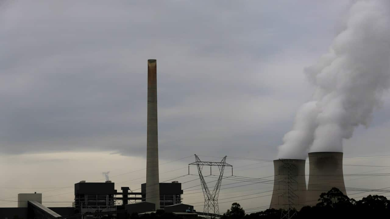
Experts say one thing is certain: that as climate change worsens, unpredictable and extreme weather events will only increase, posing ever greater challenges for farmers, governments and forecasters alike.


