Key Points
- Possible flash flooding is forecast to hit eastern Australia, according to the Bureau of Meteorology.
- Rainfall totals of up to 200mm are predicted for Queensland and NSW in the coming days.
- It marks just a few months since river levels rose in QLD, flooding homes in a January emergency.
A man has died in floodwaters as Queensland is lashed by severe weather and NSW braces for thunderstorms and big downpours.
The 71-year-old man's car was found submerged in waters at Greenbank, near Logan southwest of Brisbane, where more than 100mm of rain fell in an hour on Wednesday night.
His body was found near the vehicle early Thursday morning.

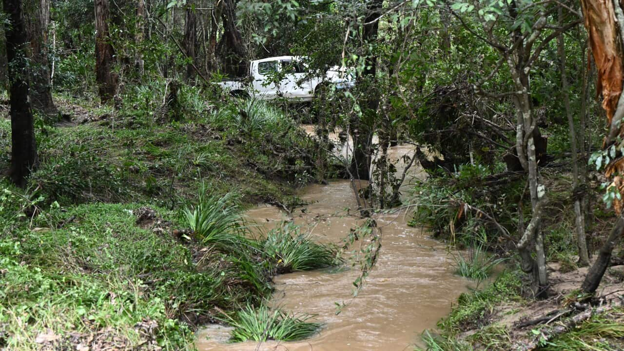
Moonie and Condamine rivers already had river levels rise earlier this year. Source: AAP / Dan Peled
"Our investigation is underway as to what the circumstances were," he said.
"Early days on that yet but clearly an absolutely tragic circumstance."
Gollschewski said emergency services had to rescue people who had driven into floodwaters in the same area.
He said the SES had received 12 calls for help across the region overnight.
The Bureau of Meteorology's Angus Hines said the wet weather would continue into the weekend.
"Last night we have seen significant storm activity," he said.
"Heavy falls up and over 150mm in some places, leading to significant surface flooding and that is just a taste of what's to come over the next three days."
A severe weather warning has been issued in Queensland for the Darling Downs, Granite Belt Central West, Marranoa and Warrego regions, with slow-moving thunderstorms leading to flash flooding.
Major flooding was predicted along the Bremer River on Thursday, where the bureau says water levels have risen sharply following Wednesday night's heavy rainfall.
Moderate flooding is possible in parts of the southern inland and southwest of Queensland including the Condamine, McIntyre, Weir, Warrego and Moonie rivers.
"It is very wet," Hines said.
"Flash flooding and riverine flooding are both possible and this is going to be a dynamic and serious situation."
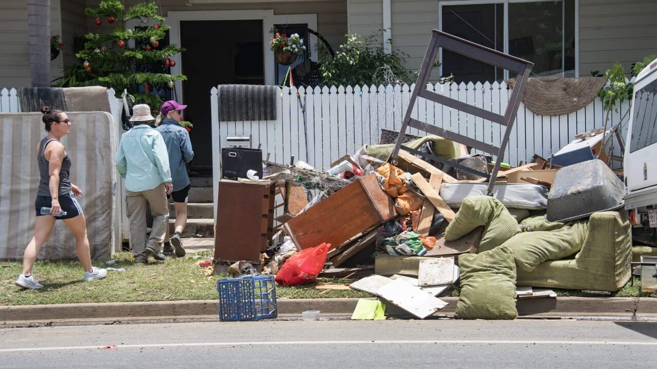
For residents near the Moonie and Condamine rivers it marks just a few months since river levels rose and flooded homes in January.
The weather system is expected to move over NSW in the coming days, bringing heavy rain, flash flooding and strong winds.
Hines said a coastal trough along the NSW coast would amplify rainfall on Friday.
"These highly populated centres are going to have a very wet day, including Sydney, Newcastle, Wollongong all the way up to Port Macquarie," he said.
The bureau warned residents of the Hunter, Sydney, Blue Mountains and Illawarra to prepare for the severe weather from Friday.
Rainfall totals of up to 300mm in 24 hours are possible in the Illawarra, while up to 200mm could fall between the Blue Mountains and Moruya on the far south coast.
Damaging winds are forecast, with gusts up to 90km/h possible along the coast south of Sydney.
A flood watch is in place for the Mid-North Coast, Wollombi Brook, Sydney region, South Coast and parts of the northwest.
The Hawkesbury-Nepean River could rise to major flood levels from late Friday.
Conditions are predicted to ease by Saturday afternoon.
