Key Points
- The Bureau of Meteorology is forecasting severe thunderstorms to extend into northeastern parts of NSW.
- Experts say dangerous supercell thunderstorms are rare but can include heavy rain, hail, and extreme winds.
- They say climate change is expected to affect extreme storms.
The Bureau of Meteorology (BOM) is forecasting severe thunderstorms to extend from southeast NSW into the eastern half of the state, where rainfall is due to increase on Wednesday.
"High-end supercell thunderstorms are a possibility this afternoon and evening through the east, particularly over the northeast, with a risk of localised destructive winds and giant hail," the bureau said.
Residents of NSW and Queensland have already started sharing photos and videos of the wild weather on social media and talking about the possibility of taking pictures of supercell thunderstorms. The storms are impressive to look at but experts warn they can be highly dangerous.
What are supercells?
"Supercell thunderstorms are generally the most dangerous type of severe thunderstorm," said Dr Tim Raupach, a lecturer at the UNSW Sydney Climate Change Research Centre and an associate investigator with the ARC Centre of Excellence for Climate Extremes.
He explained that thunderstorms form when warm, moist air rises and shapes clouds, causing rain and, in some cases, hail. If the rain and hail fall straight down, they help form a cool downdraft that dampens the warm updraft and stops the storm.

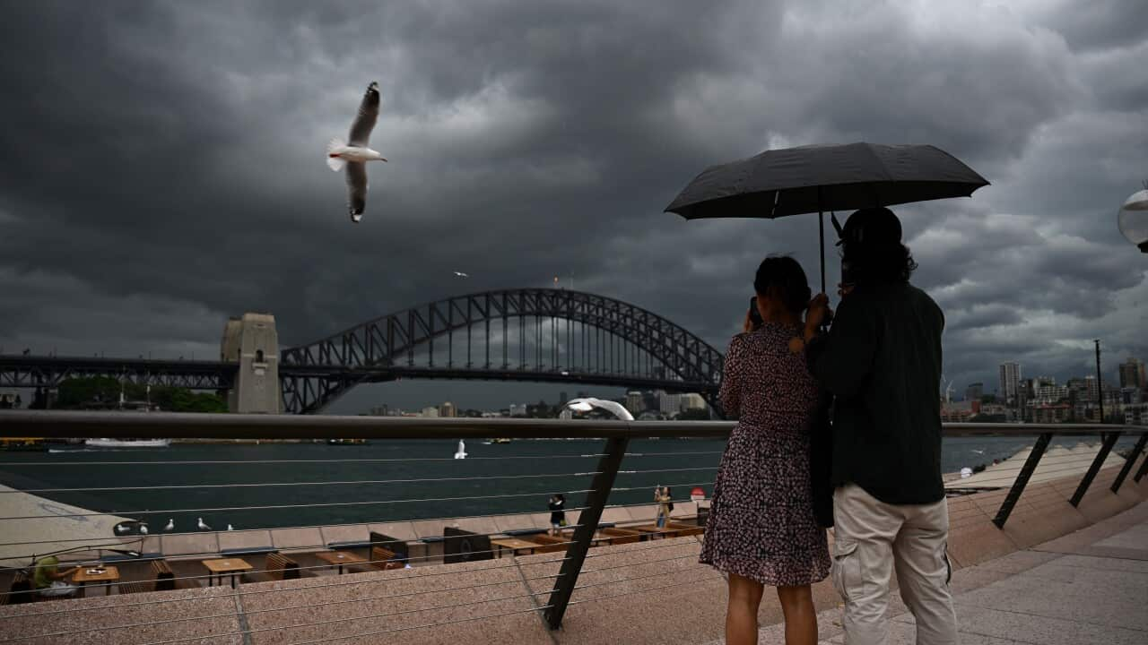
Heavy rain, thunderstorms and wild weather have hit Adelaide and are coming to the east coast. Source: AAP / Jacob Shteyman
"A supercell storm has a rotating updraft with separate downdrafts, and its ability to keep building in strength is what makes it dangerous", Raupach explained.
"Supercell storms can generate heavy rain, giant hailstones, lightning, and extreme wind gusts, which make these storms dangerous for people and damaging to crops, property and the built environment."
How rare are supercells?
For this special storm to form, a specific mix of atmospheric ingredients is needed, for example, warm moist air ready to rise and wind shear - together at the same place and time.
Raupach says that it's quite rare to have all the ingredients together, which is why supercells are the least common type of thunderstorm.
"Nevertheless they can form several times a year in places that are prone to these storms, like on the mid-east coast of Australia,' he said.
Will climate change affect the frequency of supercells?
Raupach said climate change is expected to affect extreme storms because it will change the ingredients the storms need.
A warmer atmosphere, as Raupach explained, can hold more water vapour, making strong updrafts more likely.
However, it's not only about warming, but changing of wind circulation patterns too.
"This means that changes in storms with global warming vary a lot by region and there is a range of possible changes that could occur."


