Key Points
- The report said the bushfires were "exceptional" in their severity.
- Researchers used modelling to demonstrate how emissions from the bushfires could shift weather patterns.
- Global weather patterns oscillate between cooling La Niña and warming El Niño cycles
Australia's Black Summer bushfire catastrophe coughed up so much smoke it may have fuelled the global onset of La Niña in 2020, according to new research published Thursday.
The report, in peer-reviewed journal Science Advances, said the bushfires were "exceptional" in their severity — pumping out emissions on a scale similar to major volcanic eruptions.
It suggested this led to the formation of vast banks of cloud over the southeastern Pacific Ocean, which soaked up radiation from the sun and led to the cooling of surface water temperatures.
These disruptions could have helped trigger the start of an unusually long La Niña weather pattern, the researchers found.
The Black Summer bushfires raged across Australia's eastern seaboard from late 2019 to early 2020, razing swathes of forest, killing millions of animals, and blanketing cities in noxious smoke.
A rare "triple-dip" La Niña shaped global weather patterns between September 2020 and March 2023, whipping up a series of devastating tropical cyclones while exacerbating droughts in other parts of the planet.
Researchers John Fasullo and Nan Rosenbloom, from the National Center for Atmospheric Research in the United States, used modelling to demonstrate how emissions from the bushfires could shift weather patterns.
Bushfire smoke is laden with particles that act as "condensation nuclei", which attract water molecules in the atmosphere, seeding the formation of clouds.
Atmospheric impact
This blanket of cloud could cause "widespread surface cooling" in the tropical Pacific Ocean, the modelling showed, which is one of the key ingredients for the start of La Niña.
"The results here suggest a potential connection between this emergence of cool conditions in the eastern Pacific Ocean and the climate response to the Australian wildfire emissions," the paper stated.
Australian climate scientist Tom Mortlock said the bushfires caused clouds to form in a part of the Pacific that plays a crucial role in global climate regulation.
"The southeast corner of the Pacific is a really sensitive and important area for what goes on with El Niño and La Niña," he said.
"Often we see the first signs of an El Niño or La Niña forming in that part of the ocean."

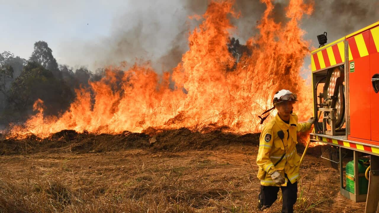
NSW Rural Fire Service crews battled more than 11 thousand bush and grass fires across the state, the largest burnt area recorded in a single fire season in eastern Australia. Source: AAP / Dan Himbrechts
"We've got an event that happened on the land in southeast Australia, which is having an impact on the atmosphere," he said.
A separate team of British researchers last year found that the "Black Summer" bushfires spewed millions of tonnes of emissions into the atmosphere, likely aggravating the Antarctic ozone hole.
Global weather patterns oscillate between cooling La Niña and warming El Niño cycles, with neutral conditions in between.


