key points
- The Bureau of Meteorology says Australia's third La Niña is slowly easing.
- As sea temperatures are becoming increasingly warmer, there is the likelihood an El Niño could be declared this year.
- El Niño could bring less rain, warmer than usual temperatures, heatwaves and increased fire danger
After Australia's wettest summer in five years and three consecutive La Niña events, there is a chance that the country could experience an El Niño event this year.
The Bureau of Meteorology's (BOM) latest climate modelling points to a hot, dry year ahead for Australia.
In its update released on Monday, the BOM said that La Niña is "slowly weakening", signalling a possible end to the heavy rainfall and grey skies from as early as March.
An update on sea surface temperatures, from a model run on 31 December, showed the threshold for El Niño could be surpassed in June.
As eastern Australia recovers from recent, catastrophic flooding and others in , people could expect a change in the weather in late 2023.
What is El Niño?
El Niño is a weather event that occurs when weak surface winds along the Equator drive up sea temperatures in the eastern and central Pacific Ocean, becoming warmer than usual.
El Niño acts in reverse of La Niña, with both events sitting on either end of a phenomenon called the El Niño-Southern Oscillation (ENSO).
University of Melbourne's climate scientist Andrew King said that consistent modelling has shown that conditions that resemble an El Niño event are expected later this year.
While it's too early to tell whether an El Niño is a certainty due to the "autumn predictability barrier" that blurs the likelihood of what's to come until April, early climate modelling has indicated it is on the rise.
"[El Niño] is normally conducive to drier conditions in Australia. It's also conducive to warmer, global, average temperatures as well, so models are predicting that we may see a transition to El Niño conditions," Dr King said.
If the BOM declares an El Niño forecast by April, it would be the first time Australia experiences such an event since 2015-16.
What can we expect?
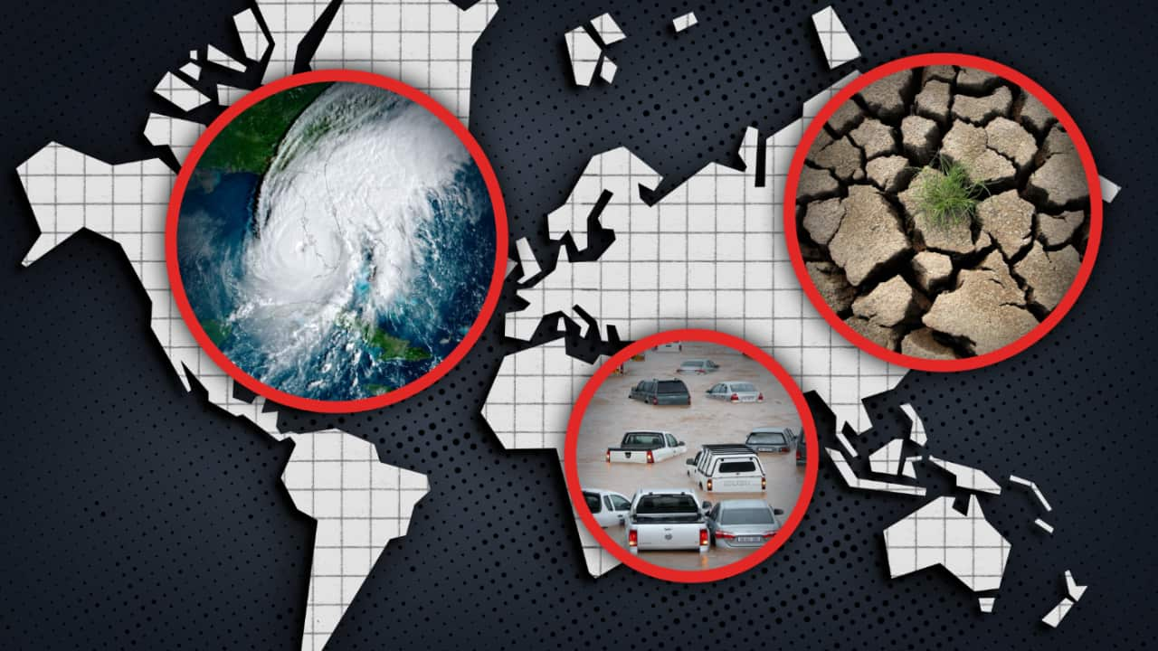
Reduced rainfall, warmer than usual temperatures, heatwaves, and increased fire danger are some of the features that are typically associated with El Niño.
"We're more likely to have major heatwaves, we're more likely to have fire weather conditions as well," Dr King said.
But he said it would be a "welcome reprieve" for much of .
And with catchments wet and dams full after severe flooding throughout 2021, an El Niño event may be what people are hoping for this year.
"El Niño is typically associated with warmer, drier conditions over Australia, and so given the recent flooding that may sound very welcome to many Australians, and there certainly may well be benefits," he said.
'Major risks' for natural disasters
The federal government's Geoscience department website describes Australia as a "land of extremes" due to widely varying temperatures, from the central desert to the country's southeast.
While Dr King said after three consecutive above-average wet years for Australia, it's unlikely an El Niño could cause a drought but warned that heatwaves could still lead to serious fires.
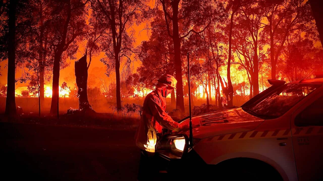
Australia's east suffered brutal bushfires in the 2019-20 Black Summer season and they act as a reminder of what severe heatwaves can lead to if a severe El Niño makes a return in the future.
Irrespective of whether El Niño is declared, Dr King said the country will face a difficult year with extreme weather events that are largely driven by climate change, a factor that is "really increasing the frequency and intensity of heatwaves".
"We will definitely see more severe weather throughout this year. If we did have an El Niño form, we'd be more likely to experience more of the heatwaves and the impacts associated with those," Dr King said.
"If we don't have an El Niño form, then maybe we'll see some more flood events as well as other kinds of extreme weather."


