Facebook has created new maps of the Asia Pacific with an unprecedented level of detail about where people are living in an effort to help authorities better respond to natural disasters and disease outbreaks.
No personal Facebook data has been used to create the maps, which are aimed primarily at supporting not-for-profit organisations and academics, but are now available online for all the world to see.
Instead, the social media giant has used its artificial intelligence muscle to process satellite imagery of the region and identify where residential properties such as houses stand.

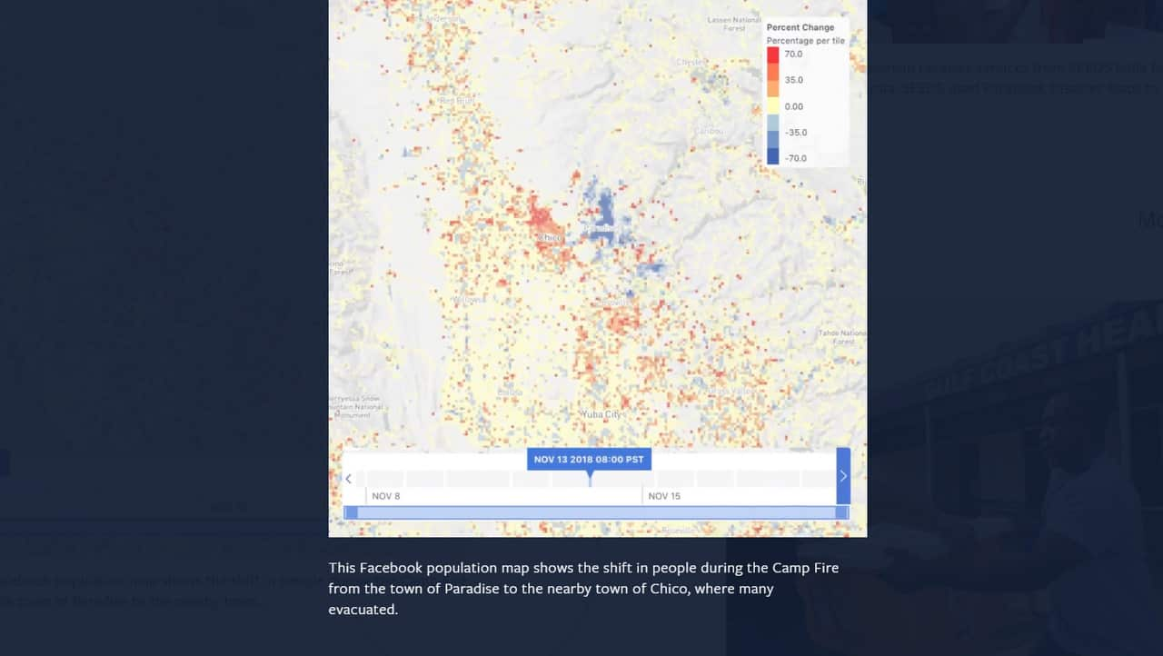
An example of how Facebook maps have been used in aid efforts. Source: Facebook
Facebook has combined this information with existing national census data to glean insights on where people live and what particular demographics are likely to make up communities.
A census typically breaks populations down into far bigger areas, making it challenging for authorities to know where to target support when disaster strikes, Facebook software engineer James Gill says.
"Instead of allocating people uniformly across the census area, we only allocate people to where there are these buildings and that allows us to produce these incredibly detailed maps," he told AAP.
The location of more isolated rural properties is also covered.
The maps have been created through Facebook's Data for Good program, with similar maps released for Africa in April and for Latin America last week.
Public policy research manager for the program Alex Pompe says humanitarian organisations have already drawn on the new population density data for their work in Africa.
"In Mozambique and Malawi, UNICEF was using these maps to more accurately allocate their resources for vaccination campaigns for a variety of inoculation efforts that were taking place for youth and children under the age of five," he said.
In Australia, Facebook expects the information will be useful for those responding to and preparing for natural disasters, particularly as the effects of climate change are felt.
People have already been drawing on Facebook's technologies to deal with the floods in Townsville and bushfires, Mr Pompe said.
"Our existing partners have been using some of this data in an early form to make more informed and efficient operation decisions and their response to those disasters."
The next step for Facebook will be continuing to refine its technology to better distinguish various residential dwellings.
The company expects some businesses may also tap into the open licence data for their own benefits.
"This is a data set that has many use cases that we haven't even imagined yet," Mr Pompe said.


